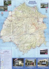
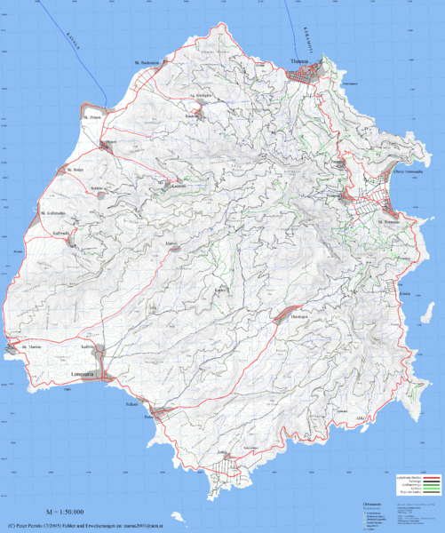
Thassos Topo Map
near Thassos, Greece
See more

 See more
Nearby Maps

Thassos - Hertz Map
2 miles away

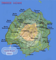
Thassos Island, Greece Tourist Map
4 miles away
Near Thassos Island, Greece

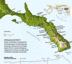
Mount Athos Monasteries Map
38 miles away
Near Mount Athos Greece

Kavos Guide Map
44 miles away
Near Kavos, Greece

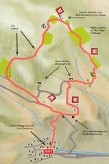
Sikia Circular Walk Map
Map of a circular walk from Sikia. 4 hours. From agrotravel.gr: "This walk takes one on a...
59 miles away
Near Sikia, Greece

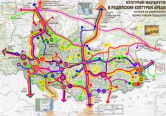
Cultural and Tourist Routes in Rhodopi Cultural...
Map of southern Bulgaria region shows a network of possible leading cultural routes – a basis...
61 miles away

 click for
 Fullsize


0 Comments
New comments have been temporarily disabled.