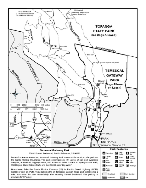
Temescal Canyon Trail Map
near Temescal Canyon, Los Angeles
View Location
Trail map of Temescal Gateway Park, Temescal Canyon, and adjoining section of Topanga State Park near Pacific Palisades, CA.
See more
 See more
Nearby Maps

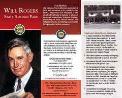
Will Rogers State Historic Park Map
Map of park with detail of trails and recreation zones
less than 1 mile away
Near 1501 Will Rogers State Park Rd, Pacific Palisades...

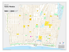
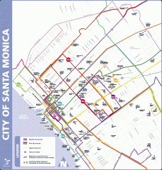
Santa Monica City Map
City map of Santa Monica, California
3 miles away
Near Santa Monica, California

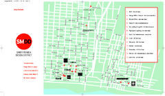
Design District, Santa Monica, California Map
Map of modern design showrooms in downtown Santa Monica, California.
4 miles away
Near santa monica, ca

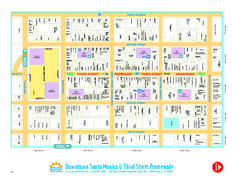
Downtown Santa Monica walking map
Detailed tourist map of Downtown Santa Monica and the Third Street Promenade in Los Angeles...
4 miles away
Near santa monica, california

Big Blue Bus Lines in Downtown Santa Monica...
Map of bus lines serving downtown Santa Monica, California. Also shows points of interest such as...
4 miles away
Near santa monica, ca

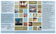
Art Trek Tour Map, Santa Monica, California
Art Trek tour map of 93 of the 120+ museums, art galleries and public displays in Santa Monica...
4 miles away
Near santa monica, ca

 click for
 Fullsize

0 Comments
New comments have been temporarily disabled.