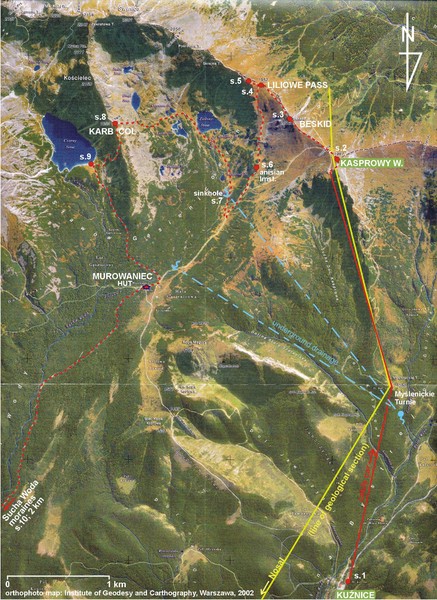
Tatras Map
near beskid, poland
View Location
The Tatras - rocks, landforms, weathering and soils field trip map with sites identified.
See more
 See more
Nearby Maps

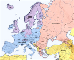
Traditional European Religious Majorities by...
Shows the traditional religious majorities by region in Europe.
32 miles away
Near Europe

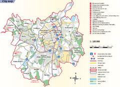
Ostrava Tourist Map
Tourist map of Ostrava, Czech Republic. Shows points of interest.
33 miles away
Near Ostrava, Czech Republic

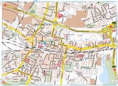
Katowice Tourist Map
Tourist map of central Katowice, Poland. Shows points of interest.
38 miles away
Near Katowice, Poland

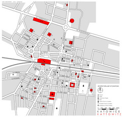
Kattowitz Tourist Map
Tourist map of Kattowitz, Poland. Shows points of interest.
38 miles away
Near Kattowitz, Poland

Sulovske vrchy Map
42 miles away
Near Sulov

European Union Member States Map
Shows all member states and years joined. Also shows candidate states.
43 miles away
Near Europe

 click for
 Fullsize


0 Comments
New comments have been temporarily disabled.