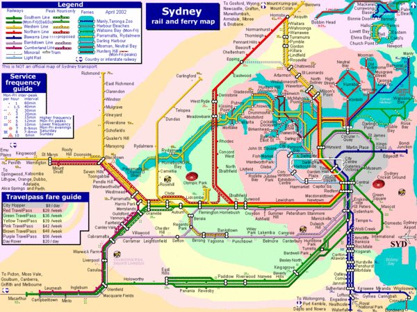
Sydney Rail and Ferry Map
near Sydney, Australia
See more
 See more
Nearby Maps

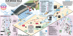
Sydney Harbour Bridge 75th Anniversary Walk Map
Map of Harbour Bridge 75th Anniversary Walk held on March 18, 2007
less than 1 mile away
Near Sydney, Australia

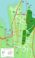
Sydney Central Business District Map
less than 1 mile away
Near Sydney, Australia

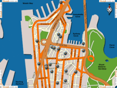
Sydney Hotel Map
less than 1 mile away
Near Sydney

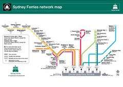
Sydney Ferries Map
Map of Sydney Ferry system with details of lines and stops
less than 1 mile away
Near Sydney, Australia

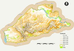
Canterbury Contour Map
The above map, which has lines marked to indicate points or areas that are the same elevation above...
less than 1 mile away
Near sydney, australia

 click for
 Fullsize

0 Comments
New comments have been temporarily disabled.