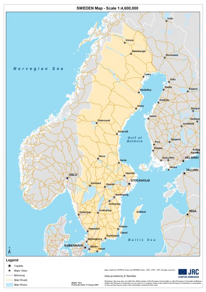
Sweden Map
near Sweden
See more
 See more
Nearby Maps

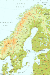
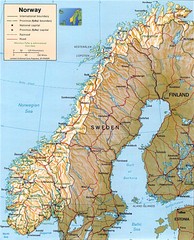
Sweden Physical Map
Map of Sweden and surrounding countries. Shows shaded relief
101 miles away
Near Sweden

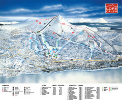
Lofsdalen Ski Trail Map
Trail map from Lofsdalen.
122 miles away
Near Lofsdalen, Härjedalen Municipality, Sweden

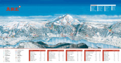
ARE Ski Resort in Sweden Map
Ski run, lifts and mountain elevations for the ARE Ski Resort in Sweden. Note: The map is in...
123 miles away
Near are, sweden

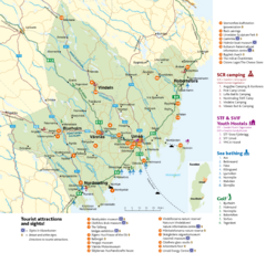
Umea Area Tourist Map
Regional map of Umeå, Sweden. Shows tourist attractions, camping, youth hostels, sea bathing...
129 miles away
Near Umeå, Sweden

 click for
 Fullsize



0 Comments
New comments have been temporarily disabled.