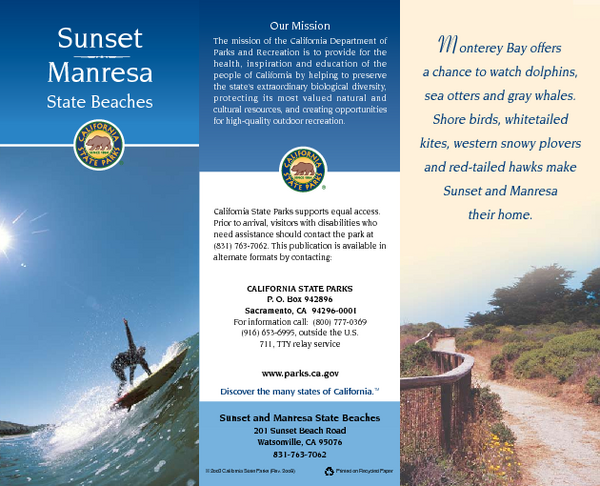
Sunset & Manresa State Beaches Map
near 201 Sunset Beach Rd, Watsonville, CA
View Location
Map of beaches and parks with detail of trails and recreation zones
See more
 See more
Nearby Maps

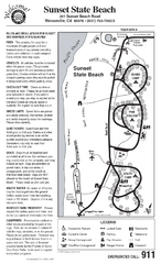
Sunset State Beach Campground Map
Map of park with detail of trails and recreation zones
2 miles away
Near 201 Sunset Beach Rd, Watsonville, CA

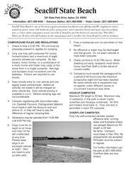
Seacliff State Beach Campground Map
Map of campground region of beach and park with detail of trails and recreation zones
6 miles away
Near 201 State Park Dr, Aptos, CA

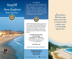
Seacliff & New Brighton State Beaches Map
Map of beaches and parks with detail of trails and recreation zones
7 miles away
Near 201 State Park Dr, Aptos, CA

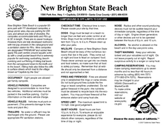
New Brighton State Beach Campground Map
Map of campground region of beach/park with detail of trails and recreation zones
7 miles away
Near New Brighton State Beach, Capitola, CA

Santa Cruz Mission State Historic Park Map
Map of park and mission
12 miles away
Near 144 School Street, Santa Cruz, CA

Santa Cruz, CA Bike Map
12 miles away
Near Santa Cruz, CA

 click for
 Fullsize

0 Comments
New comments have been temporarily disabled.