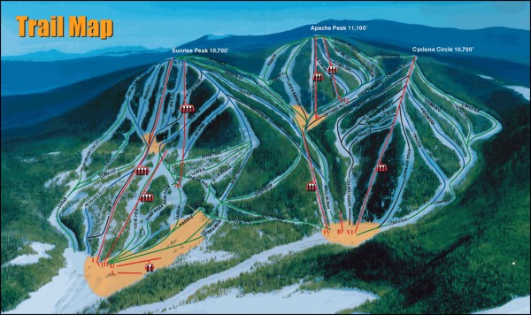
Sunrise Park Ski Trail Map
near Greer, Arizona
See more
 See more
Nearby Maps

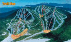
Sunrise Park Resort Ski Trail Map
Trail map from Sunrise Park Resort, which provides downhill, night, nordic, and terrain park skiing...
less than 1 mile away

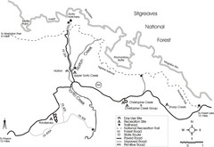
Tonto Creek in Tonto National Forest Map
Printable map for Tonto Creek area of Tonto National Forest with creek and amenenties shown on map.
18 miles away
Near Tonto creek, Arizona

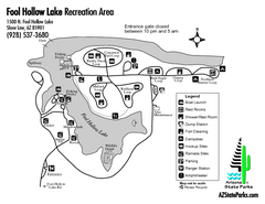
Fool Hollow Lake Recreation Area Map
Map of recreation area with detail of trails and recreation zones
36 miles away
Near 1500 N. Fool Hollow Lake, Show Low, AZ

Petrified Forest Map
Map of the Petrified Forest, Painted Desert and Rainbow Forest. Shows all roads, tourist...
74 miles away
Near Painted Desert, Arizona, USA

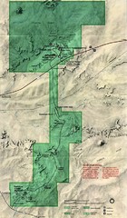
Petrified Forest National Park Map
Petrified Forest National Park Map with trails, vistiors centers and park area marked.
78 miles away
Near Painted Desert, Az

Theodore Roosevelt Lake Recreation Sites Map
Multiple camping, hiking, climbing and road sites.
80 miles away
Near Tonto National Forest, AZ

 click for
 Fullsize


0 Comments
New comments have been temporarily disabled.