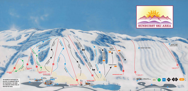
Sunburst Ski Area Ski Trail Map
near Kewaskum, Wisconsin, United States
See more
 See more
Nearby Maps

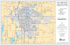
West Bend Street Map
Street map of city of West Bend, Wisconsin.
5 miles away
Near West Bend, Wisconsin

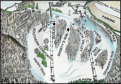
Little Switzerland Back Ski Trail Map
Trail map from Little Switzerland.
11 miles away
Near 105 Cedar Creek Rd, Slinger, WI

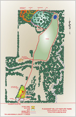
Pleasant Valley Nature Park Map
18 miles away
Near Cedarburg, Wisconsin

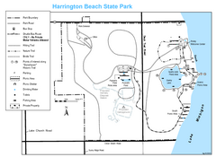
Harrington Beach State Park Map
Trails around Harington Beach State Park.
21 miles away
Near Harrington Beach State Park, WI, USA

Fon Du Lac, Wisconsin Map
22 miles away
Near Fon Du Lac, Wisconsin

 click for
 Fullsize

0 Comments
New comments have been temporarily disabled.