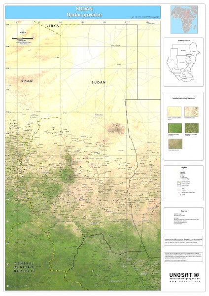
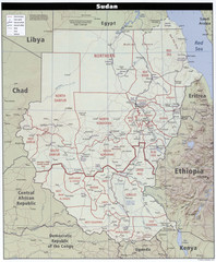
Sudan Darfur Province Map
near Darfur, Sudan
View Location
Map of Sudan's Darfur province including high level of details for villages. Source(s): Satellite image: NASA MODIS mosaic GIS data: UN Cartographic Section DCW OLS & Counterparts, created/modified by DEPHA Europa Technologies
See more
 See more
Nearby Maps

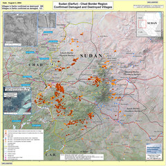
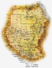
Villages Destroyed in Darfur, Sudan Map
Guide to villages destroyed as of August 2, 2004 in the Darfur region of Sudan
36 miles away
Near Darfur, Sudan

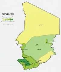
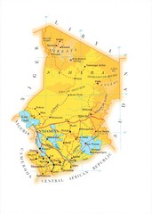
Chad Population Map 1964
Guide to the population of Chad, according to the 1964 census
268 miles away
Near Chad, Africa

 click for
 Fullsize


0 Comments
New comments have been temporarily disabled.