Stuttgart Street Map
near Stuttgart, Germany
View Location
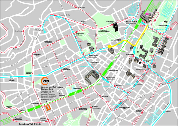
Street map of Stuttgart, Germany. Show major buildings and public transport routes.
Tweet
See an error? Report it.
Keywords
reference, street, city, germany, moerikestrasse, heilbronner, kaufwaldweg 1, airport, ice rink, ludwigsburg, russia, pfaffenwaldring See more
 See more
Nearby Maps

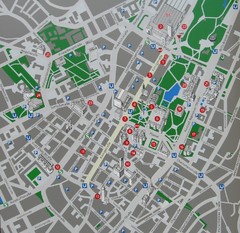
Stuttgart Tourist Map
Tourist street map of Stuttgart center
less than 1 mile away
Near Stuttgart, Germany

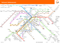
Stuttgart, Nahverkehr Map
less than 1 mile away
Near Stuttgart

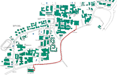
Universität Stuttgart Campus Map
In Stuttgart, Germany
4 miles away
Near Nobelstraße 15, 70569 Stuttgart, Germany

 click for
 Fullsize


0 Comments
New comments have been temporarily disabled.