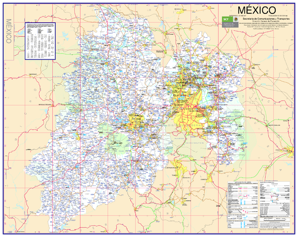
State of Mexico Road Map
near San Juan de las Huertas, Mexico
See more
 See more
Nearby Maps

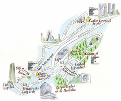
Santa Fe shopping area Map
Map created for Vogue's Fashion's Night Out in Mexico City, The map shows locations of...
31 miles away
Near mexico city

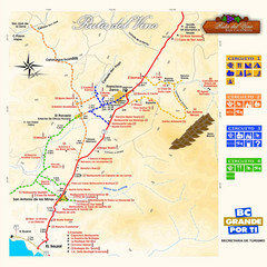
Wine Route Map
Map of various wine tour routes throughout Mexico
38 miles away
Near El Porvenir, Mexico

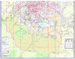
Mexico City (Distrito Federal) Map - South
Detailed street map of the south part of Mexico City (Distrito Federal). In Spanish.
39 miles away
Near Mexico City, Mexico

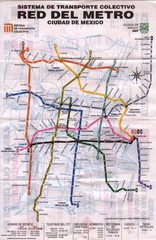
Mexico City, Mexico Metro System Map
41 miles away
Near Mexico City, Mexico

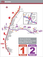
Mexico City, Mexico Bus System (Routes 1 and 2...
41 miles away
Near Mexico City, Mexico

Mexico City, Mexico Bus System Map
41 miles away
Near Mexico City, Mexico

 click for
 Fullsize


0 Comments
New comments have been temporarily disabled.