Edit this map

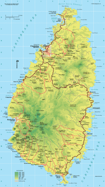
St. Lucia Island Map

near St. Lucia

View LocationView Map

13.909444 -60.978893 10 satellite
Nearest Map »  Fullsize
1289 × 2300318 KBGIF

High quality road and physical map of island of St. Lucia. Elevations are color-coded.

Created 1993 by Francis Stanton
From eagleeyemaps.com

nicky added
Nov 13, 2008

Rating
rated 4 by 1 person

See an error? Report it.

Keywords

reference, island, road, elevation, location on the map of st. lucia

0 Comments

New comments have been temporarily disabled.
.
See more

Nearby Maps

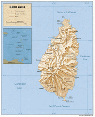
Map of Saint Lucia

Map of Saint Lucia

Map of Saint Lucia in the Carribbean.

0 miles away

rated 2 by 1 person
Near saint lucia
Keywords: tourism, island
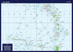
West Indies Guide Map

West Indies Guide Map

A map of the West Indies Islands

21 miles away

Near West Indies islands
Keywords: tourism
Fort de France area Map

Fort de France area Map

47 miles away
Keywords: reference
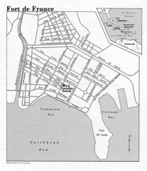
Fort de France Street Map

Fort de France Street Map

Street map of city of Fort de France, Martinique

48 miles away

rated 1.5 by 2 people
Near Fort de France, Martinique
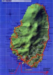
St. Vincent and the Grenadines Map

St. Vincent and the Grenadines Map

49 miles away
Keywords: reference
St. Vincent tourist Map

St. Vincent tourist Map

50 miles away

Keywords: reference
See more