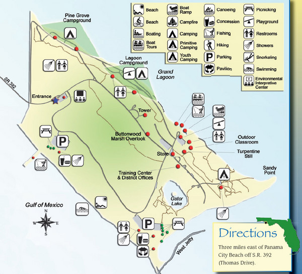
St. Andrews State Park Map
near Panama City, Florida
View Location
Overview map of St. Andrews State Park, #2 beach in America by TripAdvisor.com, 2008
See more
 See more
Nearby Maps

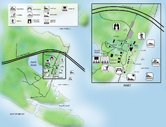
Camp Helen State Park Map
Map of park with detail of various recreation zones
18 miles away
Near Lake Powell, Panama City Beach, Florida

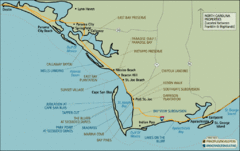
Mexico Beach, Florida Tourist Map
23 miles away
Near MExico Beach, Florida

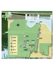
Eden Gardens State Park Map
Map of park with detail of gardens
28 miles away
Near Eden Gardens State Park, Florida

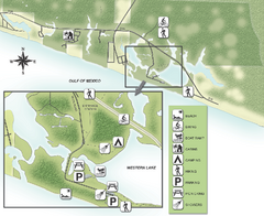
Grayton Beach State Park Map
Map of park with detail of trails and recreation zones
28 miles away
Near Grayton Beach State Park, Florida

Topsail Hill Preserve State Park Map
Map of park with detail of recreation zones
37 miles away
Near Topsail Hill Preserve State Park, Florida

Falling Waters State Recreation Area Map
Map of park with detail of trails and recreation zones
43 miles away
Near 1130 State Park Road, Chipley, Florida

 click for
 Fullsize


0 Comments
New comments have been temporarily disabled.