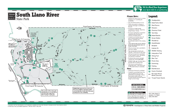
South Llano, Texas State Park Facility and Trail Map
near South Llano, Texas
See more
 See more
Nearby Maps

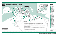
Martin Creek Lake, Texas State Park Facility and...
19 miles away
Near Martin Creek Lake, Texas

Martin Creek Lake, Texas State Park Map
19 miles away
Near Martin Creek Lake, Texas

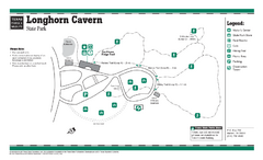
Longhorn Cavern, Texas State Park Facility and...
20 miles away
Near Longhorn Cavern, Texas

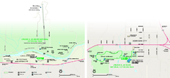
Lyndon B. Johnson National Historical Park...
Official NPS map of Lyndon B. Johnson National Historical Park in Texas. The park is open...
33 miles away
Near Lyndon B. Johnson National Historical Park

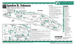
Lyndon B. Johnson State Park Facility and Trail...
33 miles away
Near Lyndon B. Johnson state park

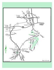
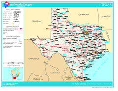
Texas Map
36 miles away
Near Texas USA

 click for
 Fullsize

0 Comments
New comments have been temporarily disabled.