South Lake Tahoe Off-Highway Vehicle Map
near lake tahoe, ca
View Location
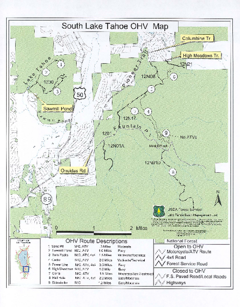
Off-Highway Vehicle Map of South Lake Tahoe, California. Shows roads open to motorcycles, ATVs, and 4x4s.
See more
 See more
Nearby Maps

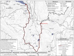
Tahoe Rim Trail: Big Meadow to Echo Lake Map
Topographic hiking map of the Big Meadow-Echo Lake leg of the Tahoe Rim Trail. Bike and pedestrian...
3 miles away
Near lake tahoe, ca

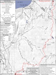
Tahoe Rim Trail: Kingsbury South to Big Meadows...
Topographic hiking map of the Kingsbury South-Big Meadows leg of the Tahoe Rim Trail. Shows...
4 miles away
Near lake tahoe, ca

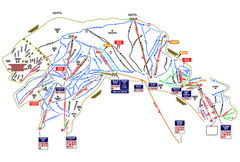
Heavenly Ski Resort Ski Trail Map
Trail map from Heavenly Ski Resort, which provides downhill, nordic, and terrain park skiing. It...
6 miles away
Near South Lake Tahoe, California, United States

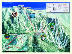
Sierra-at-Tahoe Ski Trail Map
Trail map from Sierra-at-Tahoe, which provides downhill and terrain park skiing. It has 12 lifts...
7 miles away
Near California, United States

Sierra-at-Tahoe Ski Trail Map
Official ski trail map of Sierra-at-Tahoe ski area from the 2007-2008 season.
7 miles away
Near 1111 Sierra at Tahoe Road, Twin Bridges, CA

Heavenly Valley Ski Trail Map
Official ski trail map of Heavenly Valley ski area from the 2007-2008 season.
7 miles away
Near Wildwood and Saddle, South Lake Tahoe, CA 96150

 click for
 Fullsize


0 Comments
New comments have been temporarily disabled.