Edit this map

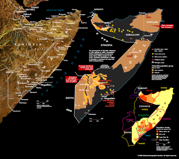
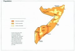
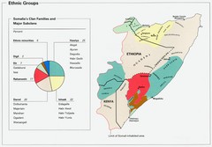
Somalia Conflict Map 2002

near Somalia

View LocationView Map

6.05316129571407 46.0546875 5 satellite
Nearest Map »  Fullsize
1111 × 985736 KBPNG

Shows conflict related information in Somalia from 2001-2002.

Created 2002 by National Geographic Society
From flickr.com

scott added
Apr 17, 2008

Rating
rated 3 by 5 people

See an error? Report it.

Keywords

history, conflict, somalia, war, africa, equator

0 Comments

New comments have been temporarily disabled.
See more

Nearby Maps

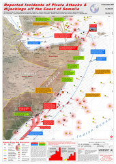
Somali Pirate Attacks Map as of Dec 12, 2007

Somali Pirate Attacks Map as of Dec 12, 2007

Shows reported incidents of pirate attacks and hijackings off the coast of Somalia from Jan 2005...

7 miles away

rated 4.43 by 7 people
Near Somalia
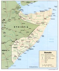
Somalia Map

Somalia Map

Basic map and legend marking borders and cities.

63 miles away

Near somalia
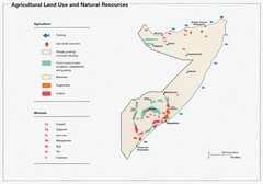
Somalia Land Use Map

Somalia Land Use Map

Map of Somalia's agricultural land use and natural resources

63 miles away

Near Somalia
Somalia Population Density Map

Somalia Population Density Map

Map of Somalia's population density

63 miles away

Near Somalia
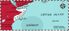
Somalia by Maps Illustrated Map

Somalia by Maps Illustrated Map

Map from Diplomat Magazine showing the location of Somalia and the area of sea that the Seychelles...

63 miles away

rated 5 by 1 person
Near somalia
Somalia Ethnic Groups Map

Somalia Ethnic Groups Map

Map of ethnic groups throughout Somalia

131 miles away

Near Somalia
See more