Sikia Circular Walk Map
near Sikia, Greece
View Location
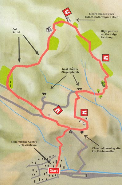
Map of a circular walk from Sikia. 4 hours. From agrotravel.gr: "This walk takes one on a circular trip around the ridge directly above the town to the north, giving fine views over the town and the surrounding countryside. The route makes use of old charcoal burners paths, goat tracks and unsurfaced farm access roads. Parts of the circuit involve rather steep, but safe, rocky ascents and descents."
See more
 See more
Nearby Maps

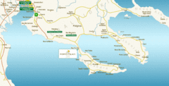
Chalkidiki Map
Map of Chalkidiki, Greece region showing 3 peninsulas.
16 miles away
Near Chalkidiki, Greece

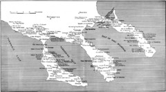
Monastic estates in Chalcidice in 15th and 16...
Monastic estates in Chalcidice pertaining to Mount Athos from History of Macedonia 1354-1833.
20 miles away
Near Chalcidice

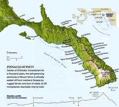
Mount Athos Monasteries Map
21 miles away
Near Mount Athos Greece

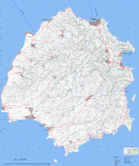
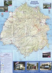
Thassos Topo Map
Topographical map of island of Thassos, Greece. Shows roads and trails.
59 miles away
Near Thassos, Greece

Thassos - Hertz Map
60 miles away

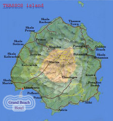
Thassos Island, Greece Tourist Map
60 miles away
Near Thassos Island, Greece

 click for
 Fullsize


0 Comments
New comments have been temporarily disabled.