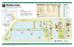
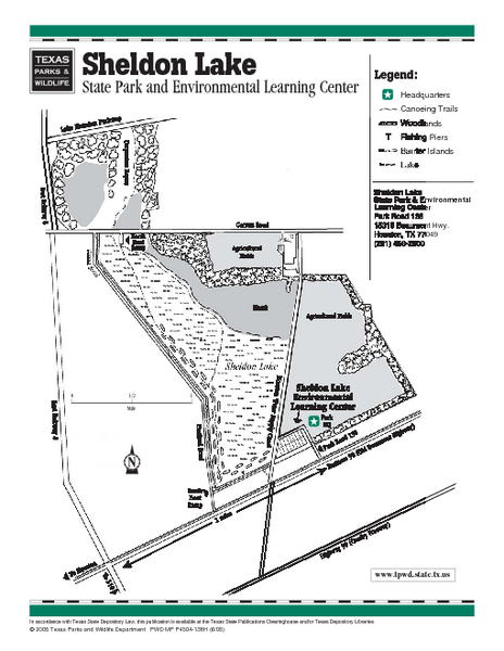
Sheldon Lake, Texas State Park Facility Map
near Sheldon Lake, Texas
See more
 See more
Nearby Maps

Sheldon Lake, Texas State Park Map
less than 1 mile away
Near Sheldon Lake, Texas

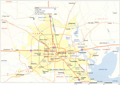
Houston Metropolitan Map
Map of Houston Metropolitan area with QTRCO highlighted
11 miles away
Near Houston, TX

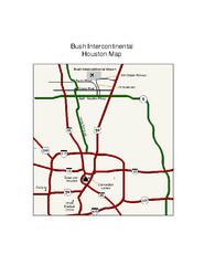
Houston Airport IAH Map
13 miles away
Near Houston Tx Airport

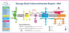
George Bush Intercontinental Airport Terminal Map
Official Terminal Map of George Bush Intercontinental Airport. Shows all areas.
13 miles away
Near 2800 N Terminal Rd Houston, TX 77032

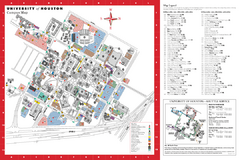
University of Houston Map
Campus Map of the University of Houston. All buildings shown.
13 miles away
Near Houston, Texas

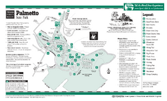
Palmetto, Texas State Park Facility and Trail Map
13 miles away
Near Palmetto, Texas state park

 click for
 Fullsize

0 Comments
New comments have been temporarily disabled.