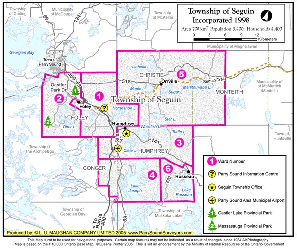
Seguin Township Map
near Seguin, ON
See more
 See more
Nearby Maps

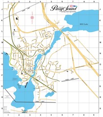
Parry Sound Town Map
12 miles away
Near Parry Sound, ON, CA

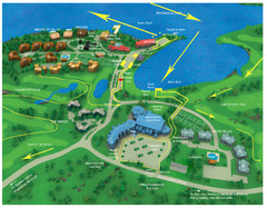
Subaru Ironman Full Resort Map
Overview of Staging areas for Ironman race,
24 miles away
Near muskoka, canada

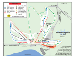
Hidden Valley Highlands Ski Trail Map
Trail map from Hidden Valley Highlands, which provides downhill skiing. This ski area has its own...
32 miles away
Near Huntsville, Ontario, Canada

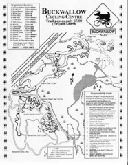
Buckwallow Trail Map
Biking trail map for Buckwallow Cycling Center
35 miles away
Near 1064 Reay Rd E, Gravenhurst, ON, Canada

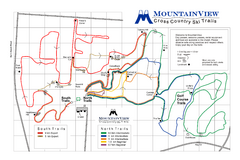
Mountain View Nordic Ski Trail Map
Trail map from Mountain View, which provides downhill and nordic skiing. This ski area has its own...
39 miles away
Near Midland, Ontario, Canada

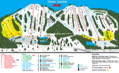
Mount St. Louis/ Moonstone Ski Trail Map
Trail map from Mount St. Louis/ Moonstone, which provides downhill skiing. This ski area has its...
47 miles away
Near Ontario, Canada

 click for
 Fullsize


0 Comments
New comments have been temporarily disabled.