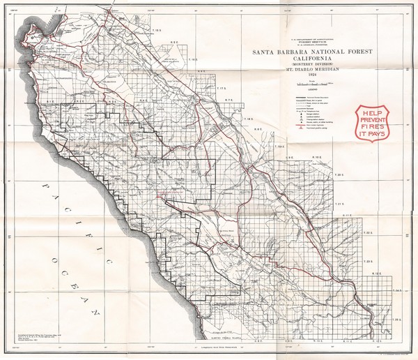
Santa Barbara National Forest 1924 Map
near Los Padres National Forest
View Location
Los Padres National Forest Map. Prior to 1936 it was known as the Santa Barbara National Forest.
See more
 See more
Nearby Maps

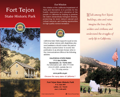
Fort Tejon State Historic Park Map
Map of park with detail of trails and recreation zones
21 miles away
Near Fort Tejon, Lebec, CA

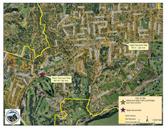
Ojai Park and Rides Map
City map of Ojai, California. Shows park & rides for commuters.
21 miles away
Near Ojai, California

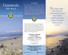
Carpinteria State Beach Map
Map of beach with detail of trails and recreation zones
24 miles away
Near 5361 6th St, Carpinteria, CA

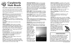
Carpinteria State Beach Campground Map
Map of park with detail of trails and recreation zones
24 miles away
Near 5361 6th St, Carpinteria, CA

Santa Barbara Map
26 miles away
Near Manning Park, Santa Barbara

 click for
 Fullsize


0 Comments
New comments have been temporarily disabled.