San Francisco Bike Map
near San Francisco, CA
View Location
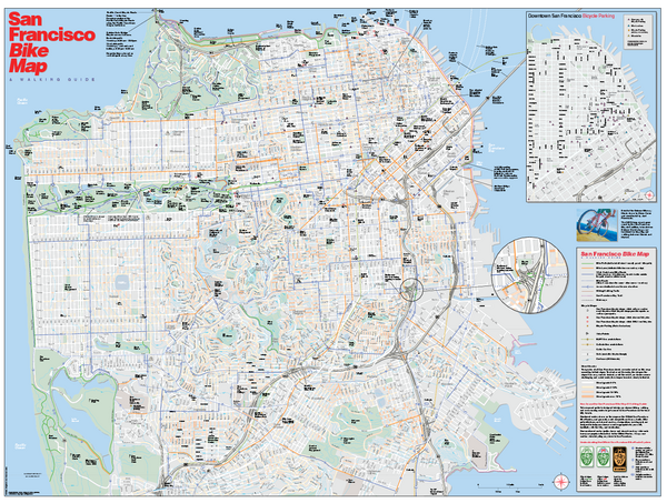
Map showing bike paths, bike lanes, bike shops, public transportation, and grades of hills in San Francisco, California.
See more

 See more
Nearby Maps

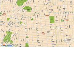
Downtown San Francisco: Castro and Noe Valley Map
Tourist map of the Castro and Noe Valley area in downtown San Francisco, California. Shows Twin...
less than 1 mile away
Near san francisco, ca

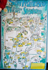
San Francisco Water System Cartoon Map
Cartoon map of the San Francisco Water System. From photo of poster from San Francisco Public...
less than 1 mile away
Near San Francisco, CA

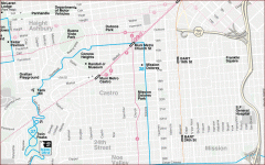
Castro, Mission, Haight-Ashbury, Noe Valley map
Tourist map of Castro, Mission, Haight-Ashbury, Noe Valley, and Twin Peaks in San Francisco
less than 1 mile away
Near castro, san francisco

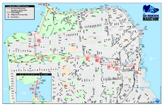
San Francisco 2009 Marathon Map
Guide to the 2009 San Francisco Marathon and Half Marathon
less than 1 mile away
Near San Francisco, CA, US

Bay to Breakers race course Map
Bay to Breakers course. Held annually on the third Sunday in May. "ING Bay to Breakers...
less than 1 mile away
Near San Francisco, CA

San Francisco Neighborhoods Map
less than 1 mile away
Near san Francisco

 click for
 Fullsize


1 Comments
great map to figure out accessibility