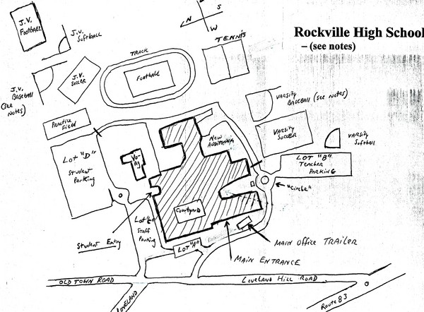
Rockville High School Map
near Vernon, Connecticut, USA
View Location
Hand-drawn map of Rockville High School includes all buildings, Parking Lots, and sports fields.
See more

 See more
Nearby Maps

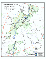
Trail map of Shenipsit State Forest
Trail map of Shenipsit State Forest in Connecticut.
6 miles away
Near ellington, ct

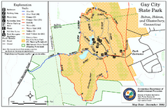
Gay City State Park trail map
Trail map of Gay City State Park in Connecticut.
10 miles away
Near bolton, ct

Wadsworth Athenium Museum Location Map
Wadsworth Athenium visitor location map with locations of major buildings, streets, parks, and...
12 miles away
Near 600 Main Street, Hartford, CT

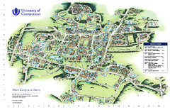
University of Connecticut - Storrs Campus Map
University of Connecticut - Storrs Campus Map. All areas shown.
12 miles away
Near Storrs, Connecticut

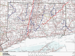
Connecticut Long Distance Trails Map
A map of long distance trails throughout Connecticut. Go to the website below for detailed trail...
13 miles away
Near West Haddam, Connecticut

Mansfield Conservation and Development Map
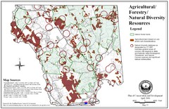
Guide to Agricultural, Forestry and Natural Diversity Resources
14 miles away
Near Mansfield, CT, US

 click for
 Fullsize


0 Comments
New comments have been temporarily disabled.