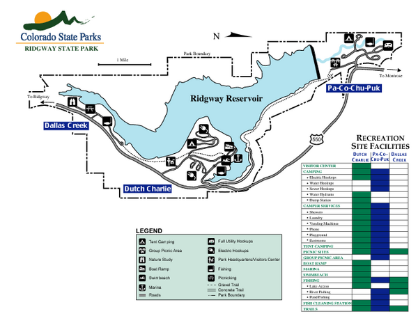
Ridgway State Park Map
near 28555 Highway 550, Ridgway, CO
See more
 See more
Nearby Maps

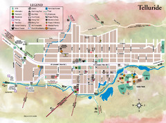
Telluride Town Map
19 miles away
Near Telluride, CO

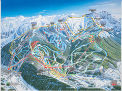
Telluride, Colorado Trail Map
19 miles away
Near Telluride, CO

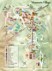
Mountain Village Tourist Map
Tourist map of Mountain Village, Colorado at the Telluride Ski Area.
20 miles away
Near Mountain Village, Colorado

Telluride ski trail map
Official ski trail map of Telluride ski area from the 2006-2007 season.
21 miles away
Near Telluride, CO

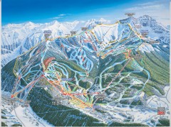
Telluride Ski Trail Map
Trail map from Telluride, which provides downhill, nordic, and terrain park skiing. It has 18 lifts...
21 miles away
Near Telluride, Colorado, United States

 click for
 Fullsize

0 Comments
New comments have been temporarily disabled.