
 Edit this map

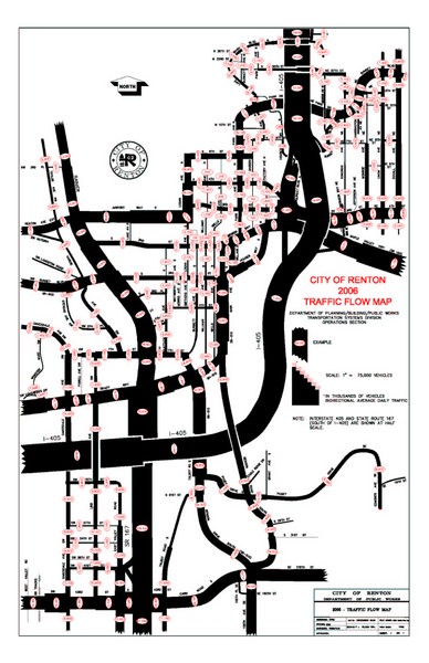
Renton WA Traffic Flow Map
near Renton, WA 98057

 See more

Nearby Maps
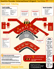
SeaTac Airport Map
4 miles away
Near Seattle Tacoma Airport
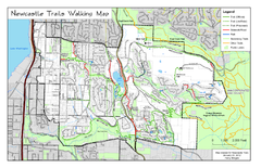
Newcastle Trails Trail Map
Trail map of existing and proposed trails in Newcastle, WA
5 miles away
Near Newcastle, WA
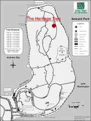
Seward Park Trails Map
Map of the trails in Seward Park, a 300-acre park on a peninsula in the south Seattle, WA area.
6 miles away
Near lake washington bl s & s orcas st, seattle, wa
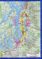
Seattle, Washington City Map
6 miles away
Near Everett, Washington

Des Moines Washington tourist map
Tourist map of Des Moines, Washington, including Kent and SeaTac airport.
7 miles away
Near des moines, washington

Tourist map of Downtown Des Moines, Washington
Tourist map of Downtown Des Moines, Washington. Shows all businesses.
7 miles away
Near des moines, washington

 See more


 Explore Maps
 Map Directory
 click for
 Fullsize


0 Comments
New comments have been temporarily disabled.