Edit this map

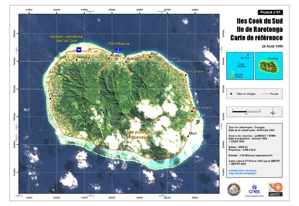
Rarotonga Island Map

near Rarotonga Island

View LocationView Map

-21.2292371 -159.7763491 12 satellite
Nearest Map »  Fullsize
2400 × 16503.0 MBJPG

Reference map of Rarotonga Island. In French.

Created 8/24/1999
From disasterscharter.org

landlubber added
Dec 13, 2008

Rating
rated 4 by 1 person

See an error? Report it.

Keywords

reference, island

0 Comments

New comments have been temporarily disabled.
See more

Nearby Maps

Cook Islands Tourist map

Cook Islands Tourist map

less than 1 mile away

Near Cook Islands
Rarotonga Island Map

Rarotonga Island Map

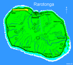
Clear map marking rivers and towns.

1 mile away

Near Rarotonga, Cook Islands
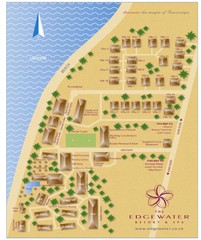
Edgewater Resort, Rarotonga, Cook Is Map

Edgewater Resort, Rarotonga, Cook Is Map

3 miles away

Near Edgewater , rarotonga
Keywords: tourism
Atiu Map

Atiu Map

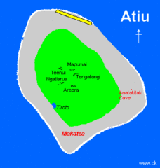
Simple map marking small towns.

136 miles away

Near Atiu, Cook Islands
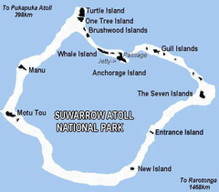
Suwarrow atoll National Park Map

Suwarrow atoll National Park Map

593 miles away

Near suwarrow atoll
Keywords: reference
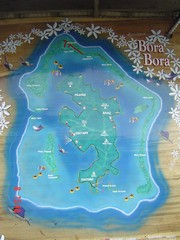
Bora Bora Map

Bora Bora Map

Map of island from photo of sign

619 miles away

rated 3 by 1 person
Near Bora Bora
Keywords: tourism, island
See more