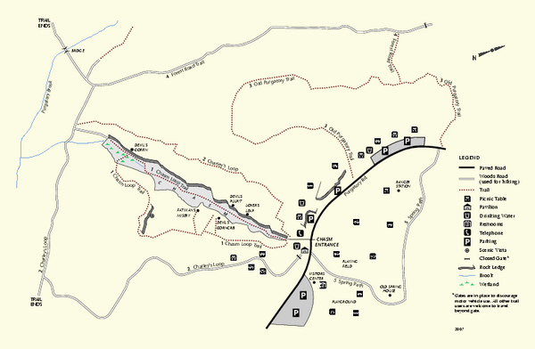
Purgatory Chasm State Reservation trail map
near sutton, ma
See more
 See more
Nearby Maps

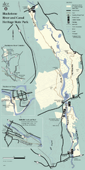
Heritage State Park Map
Clear state park map marking trails and facilities.
4 miles away
Near Heritage State Park, Ma

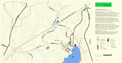
Douglas State Park Detail Map
6 miles away
Near 107 Wallum Lake Rd, Douglas, MA

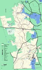
Douglas State Forest trail map
Trail map of the Douglas State Forest in Massachusetts
7 miles away
Near douglas, ma

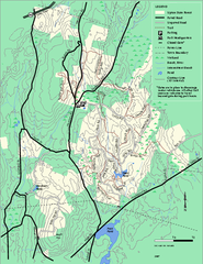
Upton State Forest trail map
Trail map for Upton State Forest in Massachusetts.
7 miles away
Near upton, ma

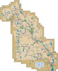
Blackstone Valley tourist map
Tourist map of the Blackston Valley in Rhode Island and Massachusetts. Shows hiking, biking, and...
8 miles away
Near blackstone valley, rhode island

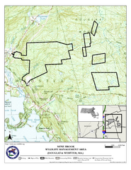
Mine Brook Wildlife Management Area Map
9 miles away
Near 11 Rawson Rd, Webster, MA

 click for
 Fullsize


0 Comments
New comments have been temporarily disabled.