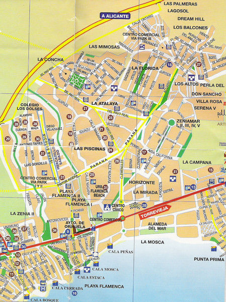
Playa Flamenca Tourist Map
near Playa Flamenca, Spain
View Location
Tourist street map of Playa Flamenca and surrounding area on the Orihuela Costa, Costa Blanca, Spain
See more
 See more
Nearby Maps

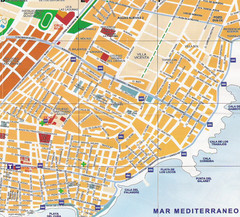
Torrevieja Spain Tourist Map
Detailed street map of the Costa Blanca town of Torrevieja, Spain. Map shows parking, information...
3 miles away
Near Torrevieja, Spain

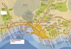
Torrevieja, Spain Restaurant and Tourist Map
4 miles away
Near Torrevieja, Spain

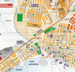
Torrevieja Tourist Map
Northern Torrevieja Tourist Map showing bus stops, streets, and city buildings.
5 miles away
Near Torrevieja, Spain

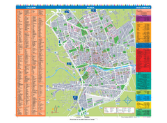
Murcia Tourist Map
Tourist map of central Murcia, Spain. Shows all points of interest.
22 miles away
Near Murcia, Spain

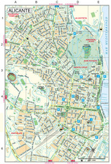
Alicante Tourist Map
Tourist map of central Alicante, Spain. Shows points of interest.
31 miles away
Near Alicante, Spain

 click for
 Fullsize


0 Comments
New comments have been temporarily disabled.