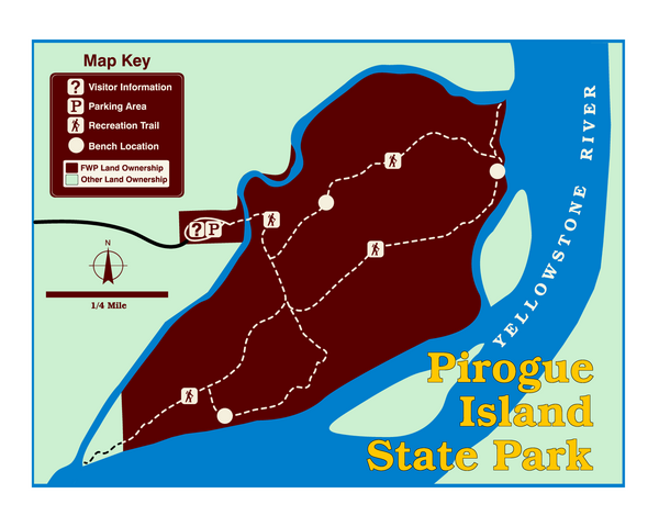
Pirogue Island State Park Map
near Pirogue Island State Park, MT, USA
View Location
Visitors find this isolated and undeveloped cottonwood-covered Yellowstone River island an excellent spot to view wildlife, envision the Corps of Discovery’s travel along the river, and hunt for moss agates. The site is a haven for waterfowl, bald eagles, and whitetail and mule deer. The island can be accessed by floating or, during low water, by foot through a small channel.
Nearby Maps
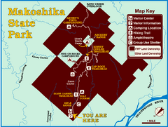
Makoshika State Park Map
To the Sioux Indians, Ma-ko-shi-ka meant bad earth or bad land. Today, as Montana’s largest...
69 miles away
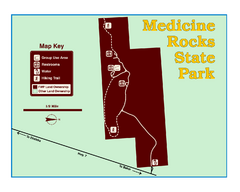
Medicine Rocks State Park Map
As the name implies, Medicine Rocks was a place of "big medicine" where Indian hunting...
70 miles away
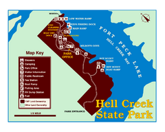
Hell Creek State Park Map
You’ll reach this campground park, 25 miles north of Jordan, through the spectacular scenery...
96 miles away
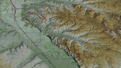
Custer Battlefield Oblique Map
98 miles away

Little Big Horn Battlefield National Monument Map
Official NPS map of the Little Big Horn Battlefield National Monument. This area memorializes...
99 miles away
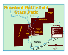
Rosebud Battlefield State Park Map
This National Historic Landmark on the rolling prairie of eastern Montana preserves the site of the...
101 miles away

 click for
 Fullsize

0 Comments
New comments have been temporarily disabled.