Penrith Whitewater Stadium Course Map
near McCarthy's Lane, Cranebrook NSW Australia
View Location
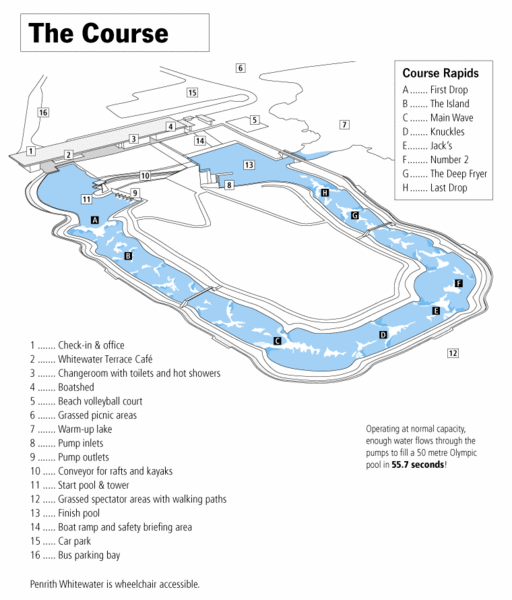
Whitewater rapids map of Penrith Whitewater Stadium, the competition venue for the canoe/kayak slalom events during the Sydney 2000 Olympic Games. The only man-made whitewater course of its kind in the Southern Hemisphere.
See more

 See more
Nearby Maps

Parramatta Bike Route Map
19 miles away
Near Parramatta, Sydney, Australia

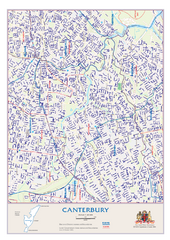
Canterbury Map
28 miles away
Near Canterbury, Australia

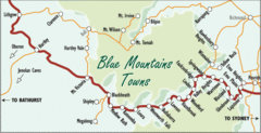
Blue Mountains' Towns Map
Simple map clearly marking each town in the Blue Mountain area.
29 miles away
Near Blue Mountains, Australia

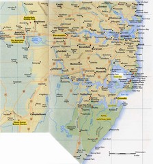
Sydney Area Road Map
Road map of the area around Sydney, Australia
30 miles away
Near Sydney, Australia

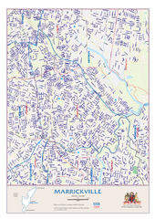
Marrickville Map
30 miles away
Near Marrickville, Australia

 click for
 Fullsize


1 Comments
this was the predecessor to the US National Whitewater Center in Charlotte, NC