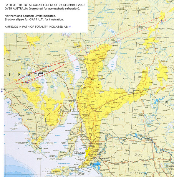
Path of the Total Solar Eclipse over Australia Map
near Adelaide, Australia
See more
 See more
Nearby Maps

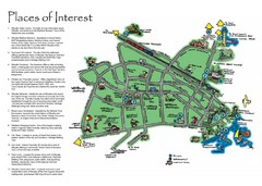
Whyalla Tourist Map
Tourist map of Whyalla, South Africa. Shows places of interest.
63 miles away
Near Whyalla, South Africa 5600

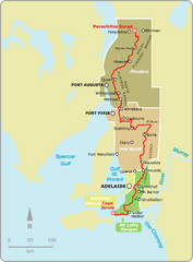
Heysen Trail Fire Ban Map
Map showing relevant Fire Ban areas of the Heysen Trail in South Australia.
78 miles away
Near Adelaide, Australia

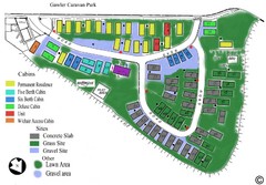
Gawler Caravan Park Map
91 miles away
Near Gawler Caravan Park

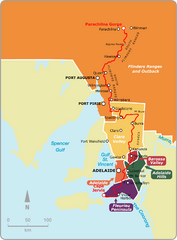
Heysen Trail Map
Map showing relevant tourist regions the Heysen Trail passes through.
92 miles away
Near Adelaide, Australia

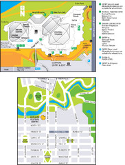
Adelaide Festival Centre Map
Map of the Adelaide Festival Centre, Adelaide, Australia. Includes street map as well as visitor...
108 miles away
Near Adelaide, Australia

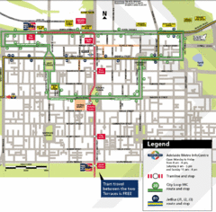
Adelaide Metro Map
112 miles away
Near Adelaide, Australia

 click for
 Fullsize


0 Comments
New comments have been temporarily disabled.