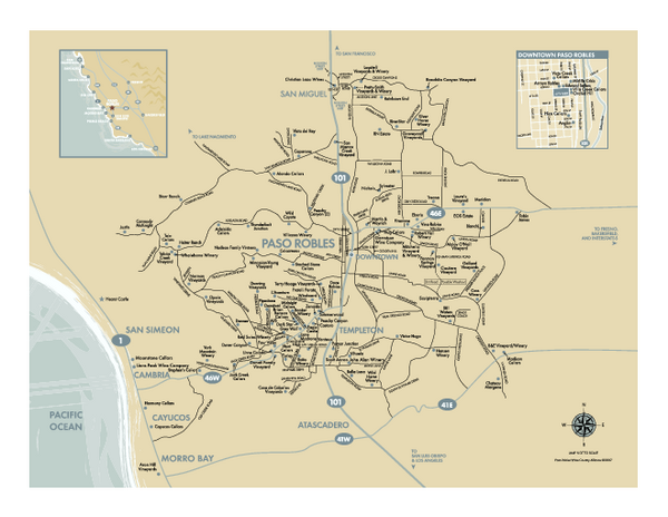
Paso Robles wine country map
near paso robles, california
See more
 See more
Nearby Maps

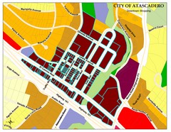
City of Atascadero Map
11 miles away
Near City of Atascadero, CA, USA

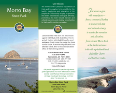
Morro Bay State Park Map
Map of park with detail of trails and recreation zones
21 miles away
Near State Park Road, Morro, CA

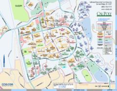
Cal Poly Campus Map
Cal Poly University at San Luis Obispo Campus Map. Includes all buildings, streets, sports fields...
23 miles away
Near San Luis Obispo, California, USA

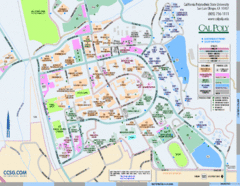
Cal Poly Campus Map
Campus map of California Polytechnic State University in San Luis Obispo, CA
23 miles away
Near San Luis Obispo, CA

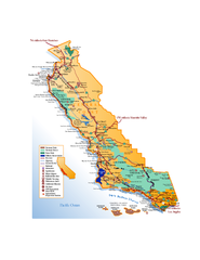
California Central Coast Map
Large tourist map of California's Central Coast. From Monterey to Santa Barbara. Shows all...
23 miles away

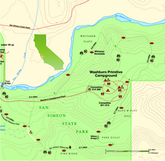
San Simeon State Park East Map
Map of east region of park with detail of trails and recreation zones
24 miles away
Near San Simeon State Park, Cambria, CA

 click for
 Fullsize


1 Comments
broken pdf