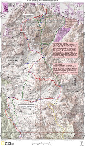
Palm Canyon Epic Trail Map
near Palm Canyon
See more
 See more
Nearby Maps

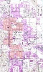
Palm Springs California City Map
3 miles away
Near Palm Springs, CA

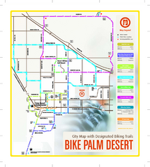
Palm Desert Biking Map
Biking route and trail map of Palm Desert, California
8 miles away
Near Palm Desert, CA 92260

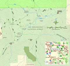
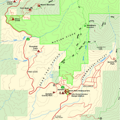
Mount San Jacinto State Park SE Map
Map of SE region of park with detail of trails and recreation zones
9 miles away
Near 25905 Highway 243, Idyllwild, CA

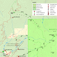
Mount San Jacinto State Park NW Map
Map of NW region of park with detail of trails and recreation zones
9 miles away
Near 25905 Highway 243, Idyllwild, CA

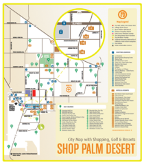
Palm Desert Shopping Map
Visitor map/shopping guide of Palm Desert
9 miles away
Near Palm Desert, CA

Mount San Jacinto State Park SW Map
Map of SW region of park with detail of trails and recreation zones
9 miles away
Near 25905 Highway 243, Idyllwild, CA

 click for
 Fullsize


0 Comments
New comments have been temporarily disabled.