Edit this map

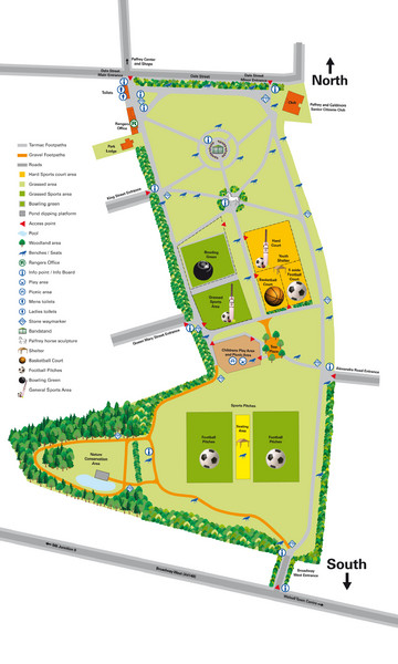
Palfrey Park Map

near Palfrey Park, UK

View LocationView Map

52.5704946284312 -1.98489904403687 16 satellite
Nearest Map »  Fullsize
1772 × 29531.5 MBJPG

Detail map of Palfrey Park

From walsall.gov.uk

walksAlot added
Mar 12, 2009

Rating
no ratings

See an error? Report it.

Keywords

reference, hike, relaxation, leisure, travel, walk, park

0 Comments

New comments have been temporarily disabled.
.
See more

Nearby Maps

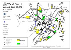
Downtown Walsall Parking Map

Downtown Walsall Parking Map

1 mile away

Near Walsall
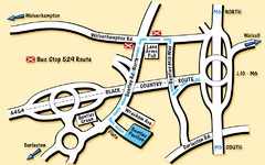
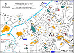
Bentley Map

Bentley Map

Location map for Bentley. Includes roads, bus stops, and directions to Bentley Pavilion.

2 miles away

Near Bentley, UK
Keywords: tourism, bus, stops
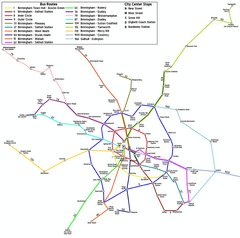
Birmingham Transit Map

Birmingham Transit Map

Guide to bus lines in Birmingham, UK

5 miles away

Near Birmingham, UK
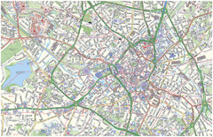
Birmingham City Map

Birmingham City Map

Street map of Birmingham, England. Shows buildings, hospitals, parking, and schools.

7 miles away

rated 3 by 5 people
Near Birmingham, UK
Central Birmingham Map

Central Birmingham Map

7 miles away

Near Birmingham, Paradise Circus
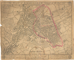
1731 Birmingham Map

1731 Birmingham Map

Guide to historic Birmingham, UK

7 miles away

Near Birmingham, UK
See more