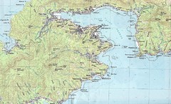
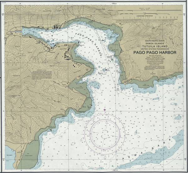
Pago Pago Harbor Tourist Map
near Pago Pago Harbor
See more
 See more
Nearby Maps

Pago Pago Map
less than 1 mile away
Near samoa

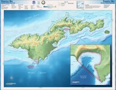
Fagatele Bay National Marine Sanctuary Map
Topographic and bathymetric map of Fagatele Bay National Marine Sanctuary in American Samoa.
2 miles away
Near American Samoa

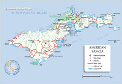
Tutuila Island Map
2 miles away
Near Tutuila Island, American Samoa

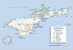
American Samoa Tutuila Island Map
3 miles away
Near american samoa

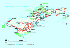
American Samoa National Park Official Park Map
Official NPS map of National Park of American Samoa in Samoa. Map shows all areas of national park...
4 miles away
Near American Samoa

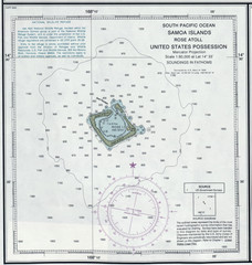
Rose Atoll Tourist Map
23 miles away
Near Rose Atoll

 click for
 Fullsize

0 Comments
New comments have been temporarily disabled.