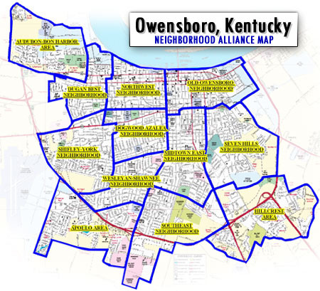
Owensboro, Kentucky City Map
near Owensboro, Kentucky
See more
 See more
Nearby Maps

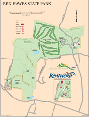
Ben Hawes State Park Map
Map of trails, facilities and golf course in Ben Hawes State Park.
5 miles away
Near Owensboro, KY

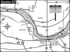
Ohio River at Owensboro, Kentucky Map
This is a page from the Ohio River Guidebook. The map shows important information for boaters and...
6 miles away
Near Owensboro, KY

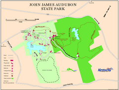
John James Audubon State Park Map
Map of trails, facilities and historical sites in John James Audubon State Park.
26 miles away
Near Henderson, KY

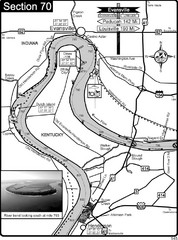
Ohio River at Evansville, IN and Henderson, KY Map
This is a page from the Ohio River Guidebook. The map shows important information for boaters and...
29 miles away
Near Evansville, IN

Green River Area Hunting Map
Map marking highways, forests, parks and hunting zones in Kentucky's beautiful Green River...
31 miles away
Near rough river lake, kentucky

Central Kentucky Trail Map
32 miles away
Near Central Kentucky

 click for
 Fullsize

0 Comments
New comments have been temporarily disabled.