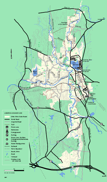
Otter River State Forest summer trail map
near baldwinville, ma
See more

 See more
Nearby Maps

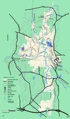
Otter River State Forest winter trail map
Winter usage trail map for Otter River State Park in Massachusetts.
less than 1 mile away
Near baldwinville, ma

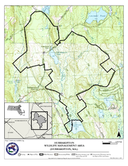
Hubbardston WMA Map
11 miles away
Near hubbardston ma

Mt. Watatic to Wachusett Mountain, Massachusetts...
12 miles away
Near Mt. Watatic

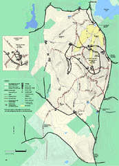
Wachusett Mountain State Reservation trail map
Trail map of Wachusett Mountain State Reservation in Massachusetts.
13 miles away
Near Princeton, ma

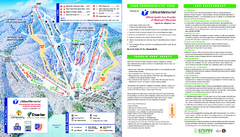
Wachusett Mountain Ski Trail Map
Trail map from Wachusett Mountain.
13 miles away
Near Princeton, Massachusetts, United States

Mt. Grace State Forest trail map
Trail map of Mt. Grace State Forest near Warwick, Massachusetts.
14 miles away
Near warwick, ma

 click for
 Fullsize


0 Comments
New comments have been temporarily disabled.