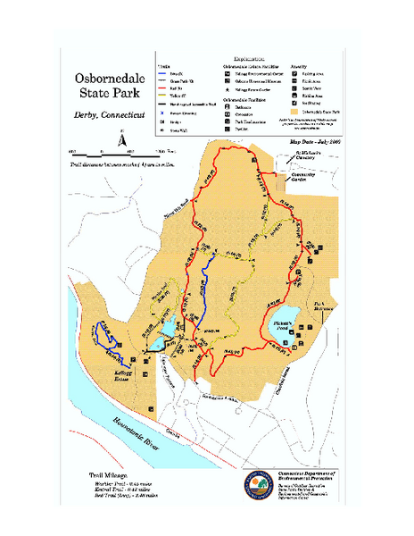
Osbornedale State Park map
near derby, ct
See more
 See more
Nearby Maps

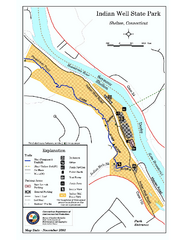
Indian Well State Park map
Trail map for Indian Well State Park in Connecticut.
2 miles away
Near shelton, ct

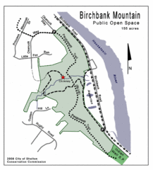
Birchbank Park Map
3 miles away
Near Birchbank Park, Shelton

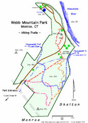
Webb Moutain Park Map
4 miles away
Near Webb Moutain Park

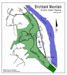
Birchbank Park Map
Several miles of moderately difficult trails along the Housatonic River bluff, including the...
5 miles away
Near Shelton, Connecticut

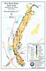
West Rock Ridge State Park map
Trail map of West Rock Ridge State Park in Connecticut.
7 miles away
Near hamden, ct

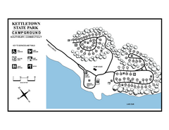
Kettletown State Park campground map
Campground map for Kettletown State Park in Connecticut.
8 miles away
Near oxford, ct

 click for
 Fullsize


0 Comments
New comments have been temporarily disabled.