Edit this map

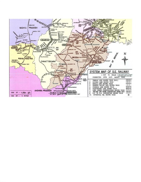
Orissa Railway Map

near orissa, india

View LocationView Map

20.2375561 84.2700179 7 satellite
Nearest Map »  Fullsize
2550 × 3300726 KBJPG

Map of Indian Railways in Orissa. Includes all railways, roads, and cities.

Created 04-2006
From orissalinks.com

travelbug added
Jan 25, 2009

Rating
no ratings

See an error? Report it.

Keywords

transportation, train

0 Comments

New comments have been temporarily disabled.
.
See more

Nearby Maps

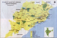
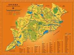
Orissa Tourist Map

Orissa Tourist Map

7 miles away

Near Orissa
Keywords: tourism, attractions
Orissa Map

Orissa Map

Map of Orissa shows tourist destinations, wildlife refuges, beaches and waterfronts.

29 miles away

Near orissa, india
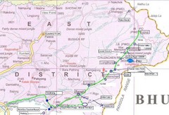
India Silk Road Map

India Silk Road Map

123 miles away

Near Nathang
Keywords: tourism, attractions
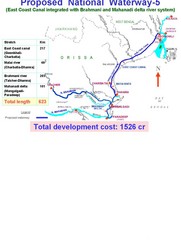
India Proposed National Waterway -5 Map

India Proposed National Waterway -5 Map

India inland waterways map showing the integration of the East Coast Canal with Brahmani and...

158 miles away

Near Dhamra, India
Keywords: reference
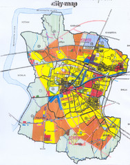
Durg City Map

Durg City Map

City map of Durg, India.

204 miles away

rated 1.5 by 4 people
Near Durg, India
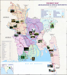
India Archaelogical Sites Map

India Archaelogical Sites Map

Archaeological sites and monuments.

212 miles away

Near india
Keywords: tourism, attractions
See more