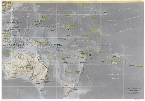
Oceania Overview Map
View Location
Overview physical relief map of Oceania. Shows major Oceania Pacific Ocean island groups. Map includes Hawaii, French Polynesia, Australia, New Zealand, Papua New Guinea, the Phillippines, and parts of Indonesia, Malaysia, and China.
See more
 See more
Nearby Maps

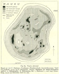
Nauru physical Map
319 miles away
Near nauru

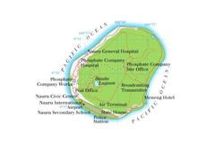
Nauru Island Tourist Map
319 miles away
Near Nauru

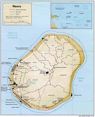
Nauru island Map
319 miles away
Near nauru

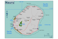
Nauru Map
319 miles away
Near nauru

Nauru tourist Map
319 miles away
Near nauru

 click for
 Fullsize


0 Comments
New comments have been temporarily disabled.