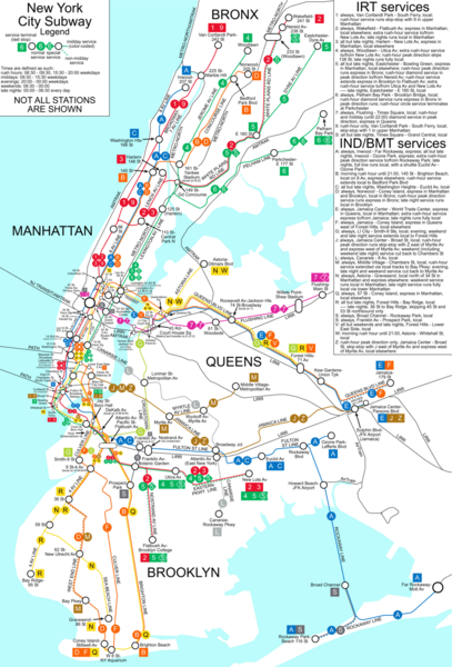
New York City Subway Map
near New York City, NY
See more

 See more
Nearby Maps

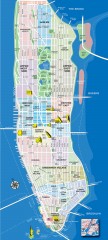
Manhattan Tourist Map
Tourist map of Manhattan, showing Museums, buildings of interest, and various neighborhoods.
less than 1 mile away
Near manhattan, new york

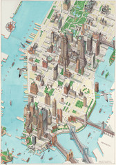
Manhattan New York Map
Aerial map of New York illustrated by UK illustrator Katherine Baxter.
less than 1 mile away
Near New York

Manhattan Neighborhood map
Excellent New York City neighborhood map created by graphic designer Alexander Cheek
1 mile away
Near manhattan, new york

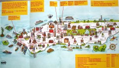
Manhattan Citysites Tour map
Map of the Citysites bus tour routes in Manhattan, New York.
1 mile away
Near manhattan, new york

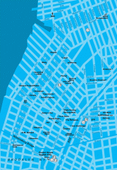
Williamsburg Art Gallery map
Map of Williamsburg and Greenpoint art galleries in Brooklyn, New York. Shows subway stops as well.
1 mile away
Near williamsburg, brooklyn

 click for
 Fullsize


0 Comments
New comments have been temporarily disabled.