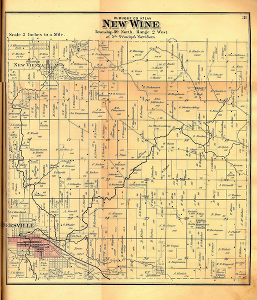
New Wine Township Iowa Atlas Map
near New Wine, Iowa
See more
 See more
Nearby Maps

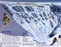
Sundown Mountain Ski Trail Map
Trail map from Sundown Mountain.
11 miles away
Near 16991 Asbury Rd, Dubuque, IA

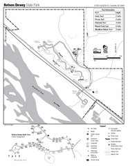
Nelson Dewey State Park Map
Easy trails for you to walk on your vacation.
15 miles away
Near Nelson Dewey State Park, WI, USA

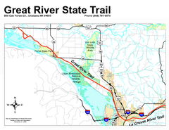
Great River State Trail Map
Nice hike through natural settings along a beautiful river.
24 miles away
Near Great River State Trail, WI, USA

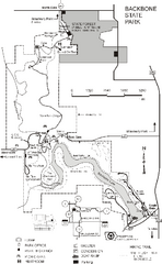
Backbone State Park Map
Map of trails and facilities in Backbone State Park.
26 miles away
Near Dundee, IA
Wapsipinicon State Park Map
Map of trails, hunting areas and park facilities in Wapsipinicon State Park.
31 miles away
Near anamosa, IA

Maquoketa Caves State Park Map
Map of trails and park facilities for Maquoketa Caves State Park.
32 miles away
Near Maquoketa, IA

 click for
 Fullsize


0 Comments
New comments have been temporarily disabled.