Edit this map

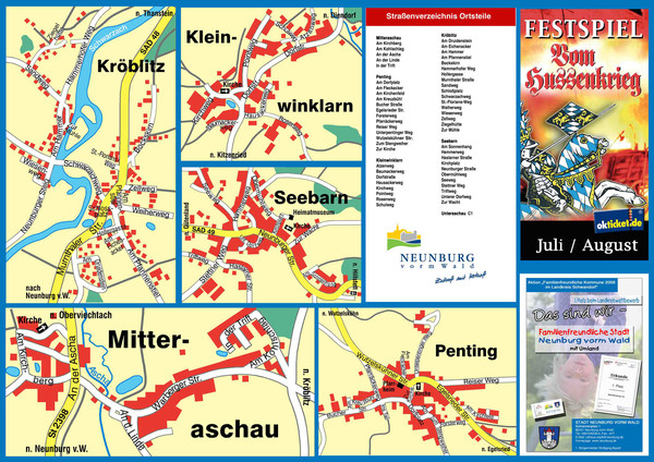
Neunburg vorm Wald District Map

near Neunburg vorm Wald, Germany

View LocationView Map

49.348471 12.381402 14 satellite
Nearest Map »  Fullsize
1600 × 1131523 KBJPG

Tourist street map of districts of Neunburg

From www.neunburgvormwald.de

MapAddict added
Nov 7, 2010

Rating
no ratings

See an error? Report it.

Keywords

tourism, street map, city, town, downtown

0 Comments

New comments have been temporarily disabled.
.
See more

Nearby Maps

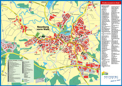
Neunburg vorm Wald Map

Neunburg vorm Wald Map

Tourist street map of Neunburg vorm Wald

0 miles away

Near Neunburg vorm Wald, Germany
Keywords: tourism, city
Roding Map

Roding Map

Street map of region

12 miles away

Near Roding, Germany
Amberg Map

Amberg Map

Map of downtown Amberg

25 miles away

Near Amberg, Germany
Regensburg Tourist Map

Regensburg Tourist Map

Tourist map of Regensburg city center

26 miles away

Near Regensburg, Germany
Keywords: tourism, city, downtown
Windischeschenbach Tourist Map

Windischeschenbach Tourist Map

Tourist street map of Windischeschenbach

33 miles away

Near Windischeschenbach, Germany
Arber Ski Trail Map

Arber Ski Trail Map

Trail map from Arber.

37 miles away

Near Bayerisch Eisenstein, Bavaria, Germany
See more