Edit this map

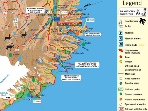
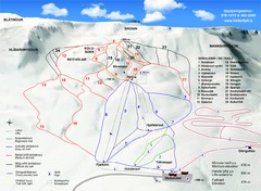
Neskaupstadur Area Tourist Map

near Neskaupstadur, Iceland

View LocationView Map

64.895589347773 -13.985595703125 7 satellite
Nearest Map »  Fullsize
1125 × 843164 KBJPG

Tourist map of eastern Iceland area near Neskaupstadur.

From icelandreview.com

Added on
Mar 6, 2009

Rating
no ratings

See an error? Report it.

Keywords

tourism, town, attractions

0 Comments

New comments have been temporarily disabled.
.
See more

Nearby Maps

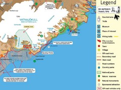
Vatnajökull National Park Map

Vatnajökull National Park Map

Home of Iceland's highest mountain 2119m

73 miles away

Near Vatnajökull National Park, Iceland
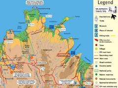
Vopnafjördur Tourist Map

Vopnafjördur Tourist Map

Tourist map of the area around Vopnafjördur, Iceland

85 miles away

Near Vopnafjördur, Iceland
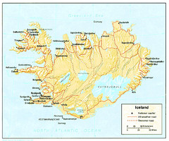
Iceland Map

Iceland Map

101 miles away

Keywords: reference
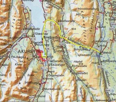
Akureyri area Map

Akureyri area Map

127 miles away

Keywords: reference
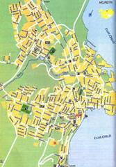
Akureyri City Map

Akureyri City Map

130 miles away

Near iceland
Keywords: reference
Hlíðarfjall Ski Trail Map

Hlíðarfjall Ski Trail Map

Trail map from Hlíðarfjall.

134 miles away

Near Hlíðarfjall, Iceland
See more