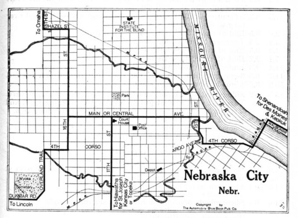
Nebraska City 1920 Map
near Nebraska City
See more
 See more
Nearby Maps

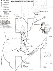
Waubonsie State Park Map
Map of trails and park facilities in Waubonsie State Park.
9 miles away
Near hamburg, IA

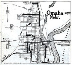
Omaha Nebraska 1920 Map
41 miles away
Near Omaha, Nebraska

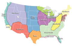
Regions of the United States Map
Appalachia- Hills, hills and more hills. Appalachian landforms contribute to landscapes of...
42 miles away
Near united states

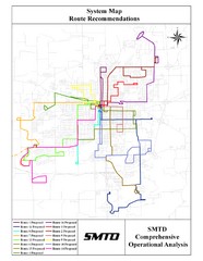
Lincoln Bus Map
44 miles away
Near Lincoln

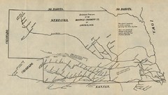
Skimming Stations of the Beatrice Creamery...
"Skimming Stations of the Beatrice Creamery Co. of Lincoln, Neb." From Report of the...
44 miles away
Near Lincoln, Nebraska

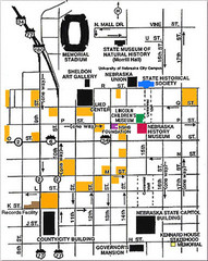
Downtown Lincoln, Nebraska Map
Red is the Nebraska History Museum. School bus parking is on the west side of 15th Street in front...
44 miles away
Near Lincoln, Nebraska

 click for
 Fullsize

0 Comments
New comments have been temporarily disabled.