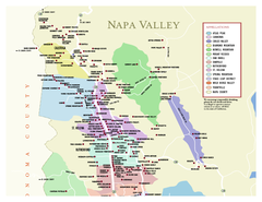
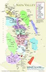
Napa Valley Wine Country Guide Map
near Napa Valley, Ca
View Location
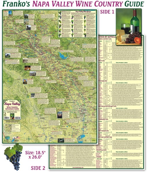
Map of the Napa Valley Wine Country. With over 250 local Wineries listed. Printed on waterproof, rip-proof plastic. Available folded. Map size: 26.5" x 18.5"
See more
 See more
Nearby Maps

Napa County Wineries, California Map
Map of wineries in Napa County, California. Shows wineries and appellations.
2 miles away
Near napa, ca

Napa Valley Wine Map
Wine map of Napa Valley, Napa, California. Shows all vineyards and shading by appellations from...
4 miles away
Near Napa, California

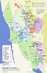
Sonoma Country Wine Map
Wine map of Sonoma, California area. Shows all vineyards.
5 miles away
Near Sonoma, California

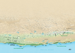
California Redwood Range Map
NPS prospective map of the coastal redwoord range in California, extending from Santa Cruz north to...
5 miles away
Near Napa, California

Sugarloaf Ridge State Park Campground Map
Map of park with detail of trails and recreation zones
6 miles away
Near 2605 Adobe Canyon Rd, Kenwood, CA

Glen Ellen Wine Tasting Map
7 miles away
Near Glen Ellen Ca

 click for
 Fullsize

0 Comments
New comments have been temporarily disabled.