Edit this map

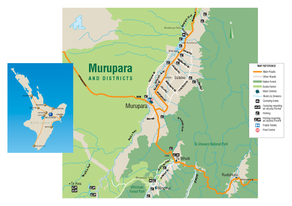
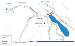
Murupara Map

near Murupara, New Zealand

View LocationView Map

-38.453790353826 176.708221435547 14 satellite
Nearest Map »  Fullsize
166 KBPDF

Map of Murupara with detail of camping locations

From Whakatane.com

Megan added
Apr 14, 2009

Rating
no ratings

See an error? Report it.

Keywords

tourism, district, region, town, city, forest

0 Comments

New comments have been temporarily disabled.
See more

Nearby Maps

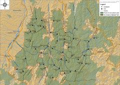
Northern Te Urewera National Park Map

Northern Te Urewera National Park Map

Trail map of northern Te Urewera National Park. Shows trails, huts, and campsites.

24 miles away

Near Te Urewera Park
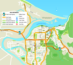
Whakatane District Map

Whakatane District Map

Tourist map of Whakatane region

36 miles away

Near Whakatane, New Zealand
Whakatane Town Map

Whakatane Town Map

37 miles away

Near Whakatane, New Zealand
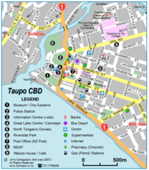
Taupo Town Map

Taupo Town Map

Street map of Taupo city

38 miles away

Near Taupo, New Zealand
Whakamaru New Zealand Map

Whakamaru New Zealand Map

Map of Whakamaru, New Zealand showing a local hotel and restaurant.

49 miles away

Near Whakamaru, New Zealand
Keywords: tourism
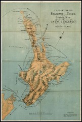
1880 New Zealand North Island Map

1880 New Zealand North Island Map

59 miles away

Near New Zealand
Keywords: history
See more