Edit this map

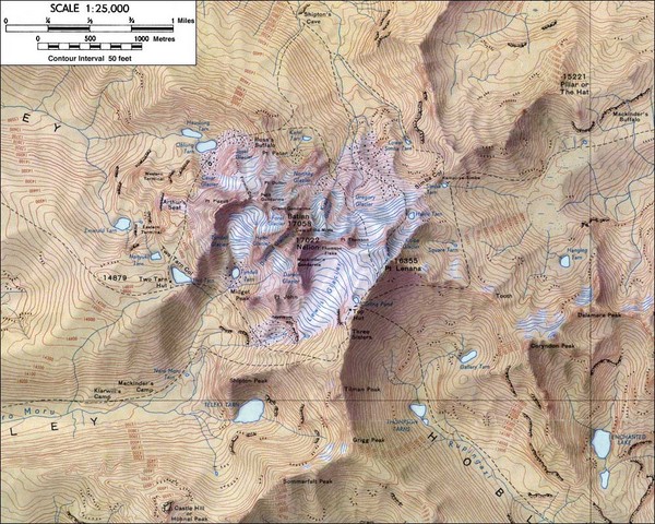
Mt. Kenya Topo Map

near Kamweti, Kenya

View LocationView Map

-0.152778444441623 37.3164367675781 12 satellite
Nearest Map »  Fullsize
1000 × 800195 KBJPG

Topographical map of Mt. Kenya, the second highest mountain in Africa at 17058 ft

From skimountaineer.com

scott added
Apr 23, 2008

Rating
rated 3.75 by 4 people

See an error? Report it.

Keywords

reference, mountain, climbing, hiking, topo, mountaineering, kenya topo, riyadh

0 Comments

New comments have been temporarily disabled.
.
See more

Nearby Maps

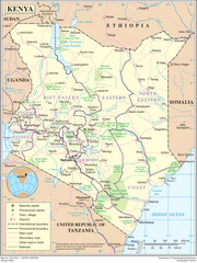
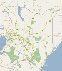
Kenya Overview Map

Kenya Overview Map

Overview map of Kenya. Shows major cities, roads, and national parks.

42 miles away

rated 1 by 1 person
Near Kenya
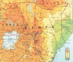
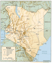
Kenya Map

Kenya Map

Physical map of Kenya. Shading based on elevation.

42 miles away

rated 3.5 by 2 people
Near Kenya
Keywords: reference, kenya
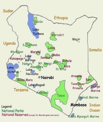
Kenya Guide Map

Kenya Guide Map

Areas in and around Kenya

42 miles away

Near Kenya
Keywords: tourism
Kenya Tourist Map

Kenya Tourist Map

42 miles away

Near Kenya
Kenya Tourist Map

Kenya Tourist Map

42 miles away

Near Kenya
Keywords: tourism, city, africa, country
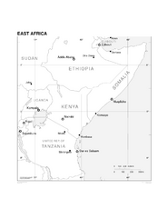
East Africa Map

East Africa Map

Map of East Africa

68 miles away

Near East Africa
See more