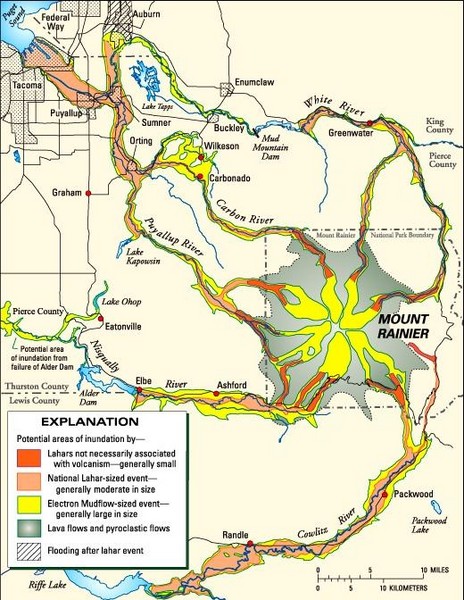
Mount Rainier Potential Lava Flow, Mud Flow and Flood Areas Map
near Mount Rainier Washington
View Location
Hazard zones for lahars, lava flows, and pyroclastic flows from Mount Rainier. The map shows areas that could be inundated if similar in size to those of the past occured today. Lahar hazard is not equal in all valleys. Puyallup Valley is the valley most susceptible to lahars caused by flank collapse. Risk to individual drainages will be refinied as scientists learn more about the volcano.
See more
 See more
Nearby Maps

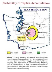
Mount Rainier Probability of Tephra (Ash...
less than 1 mile away
Near Mount Rainier Washington

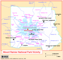
Mount Rainier National Park Vicinity Map
2 miles away
Near Mount Rainier Washington

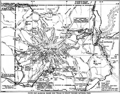
1928 Mount Rainier National Park Map
Guide to Mount Rainier National Park in 1938
2 miles away
Near Mount Rainier, WA, US

Mount Rainier National Park Map
Guide to the Mount Rainier National Park
3 miles away
Near Mount Rainier, WA, US

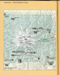
Mount Rainier National Park map
Official NPS map of Mt. Rainier National Park. Shows the entire park and surroundings
3 miles away
Near Mount Rainier National Park, WA

Mount Rainier Topographic Map
Guide to topography and glaciers of Mount Rainier
3 miles away
Near Mount Rainier, WA, US

 click for
 Fullsize

0 Comments
New comments have been temporarily disabled.