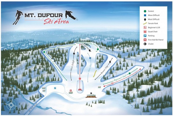
Mount Dufour Ski Trail Map
near Elliot Lake, Ontario, Canada
View Location
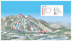
Trail map from Mount Dufour, which provides downhill skiing. This ski area has its own website.
See more
 See more
Nearby Maps

Searchmont Resort Ski Trail Map
Trail map from Searchmont Resort, which provides downhill skiing. This ski area has its own website.
72 miles away

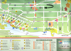
Sault Ste Marie Tourist Map
Tourist map of Sault Ste. Marie, Ontario. Shows attractions and accommodations. Scanned.
80 miles away
Near Sault Ste Marie, Ontario

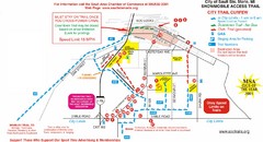
Sault Ste Marie Snowmobile Trail Map
Snowmobile trail map of Sault Ste Marie, Michigan
82 miles away
Near Sault Ste Marie, Michigan

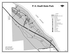
P.H. Hoeft State Park, Michigan Site Map
88 miles away
Near P.H. Hoeft State Park, MI

Brimley State Park, Michigan Site Map
92 miles away
Near Brimley State Park, Michigan

 click for
 Fullsize

0 Comments
New comments have been temporarily disabled.