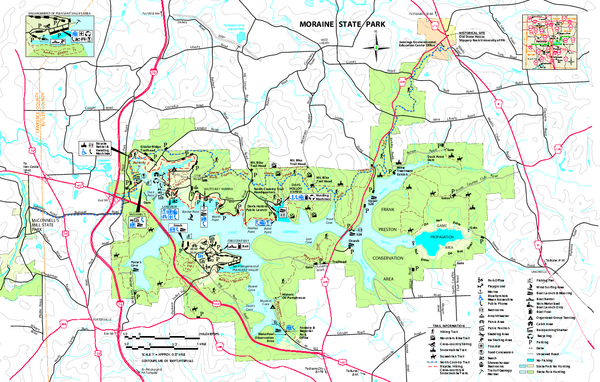
Moraine State Park map
near Portersville, PA 16051-9650
See more
 See more
Nearby Maps

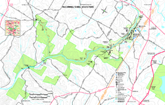
McConnells Mill State Park map
Detailed recreation map for McConnells Mill State Park in Pennsylvania
8 miles away
Near Portersville, PA 16051-9401

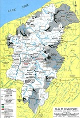
Pittsburgh District Development Map
Authorized Civil works projects for the Pittsburgh District marked as completed or in progress.
12 miles away
Near Pittsburgh

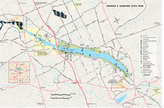
Maurice K. Goddard State Park map
Recreation map for Maurice Goddard State Park in Pennsylvania
32 miles away
Near Sandy Lake, PA 16145-8715

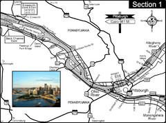
Ohio River at Pittsburgh, PA at the confluence of...
This is a page from the Ohio River Guidebook. The Ohio River begins at this confluence. This map...
33 miles away
Near Pittsburgh, PA

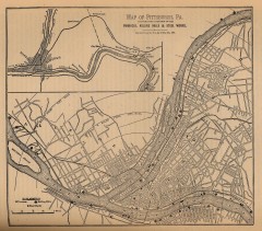
Antique map of Pittsburgh from 1879
"Map of Pittsburgh, Pa. Showing the Location of its Furnaces, Rolling Mills and Steel Works...
35 miles away
Near pittsburgh, pennsylvania

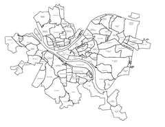
Pittsburgh neighborhoods Map
35 miles away
Near Pittsburgh, PA

 click for
 Fullsize


0 Comments
New comments have been temporarily disabled.